Public & posted land
PLOTS, WMAs, WPAs, state and federal land. See who posted private land and how to ask permission, and tap any parcel for the owner.
 HOCH HUNT
Try it free
HOCH HUNT
Try it free
Every PLOTS tract, WMA and hunting unit. Lake depths and fresh local reports. An AI guide that knows North Dakota. All in one app, and it works with no signal.
Works on iPhone, Android and PC. No download needed to try it.
 Promo video coming soonA hawk, a walleye, and the app that ties it all together.
PLOTS, WMAs, WPAs, state and federal land. See who posted private land and how to ask permission, and tap any parcel for the owner.
Deer, turkey, waterfowl, elk, moose, pronghorn, sheep, crane, furbearer, CWD and closed areas. Tap anywhere to see which units you're in.
Depth contours, boat ramps, species and the latest Game & Fish survey on 432 lakes.
"Walleye reports on Devils Lake this week?" "Duck spots within 30 miles of Bismarck?" It reads the maps, reports, regulations and weather for you.
Guide and forum fishing reports, ND Game & Fish news, and community reports, all tagged to the lakes they mention.
A live countdown to legal shooting time right where you're standing, with optional alerts to start and stop.
Download maps and land data ahead of time, and record tracks with your screen off.
Share pins and live location with your group, post reports and photos, help return lost gear, and earn badges.
Drag the slider. On the left is a normal map. On the right is what you see with Hoch Hunt: PLOTS walk-in land in gold and public land in green.
Try the free version

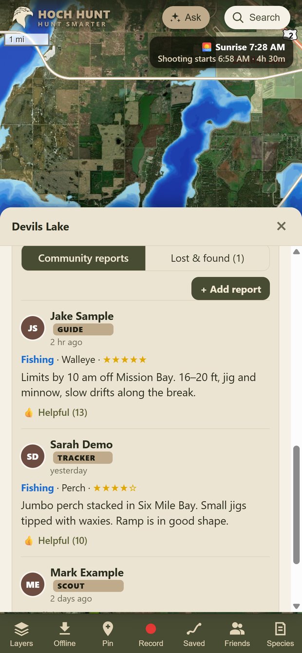
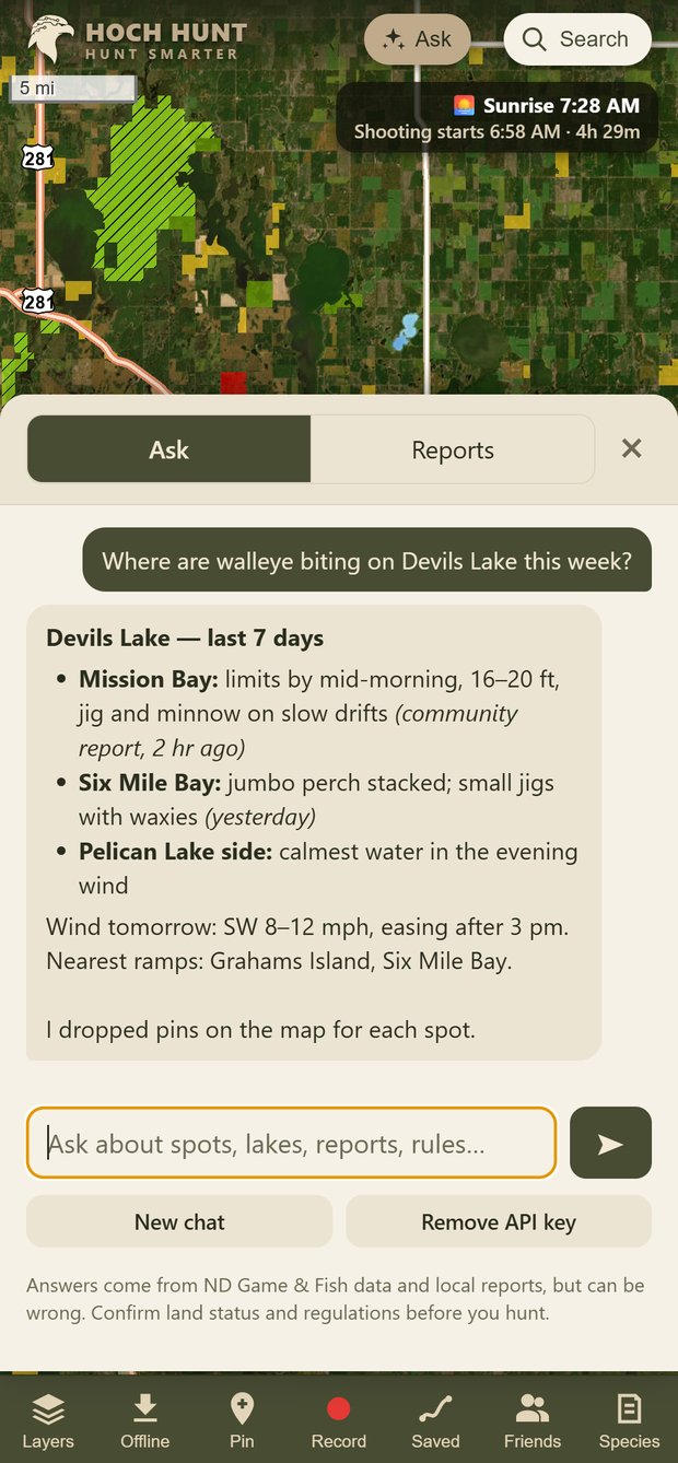
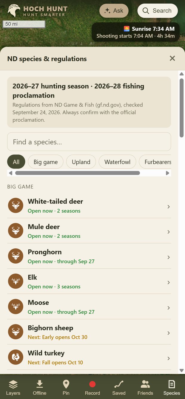
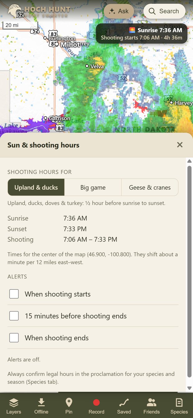
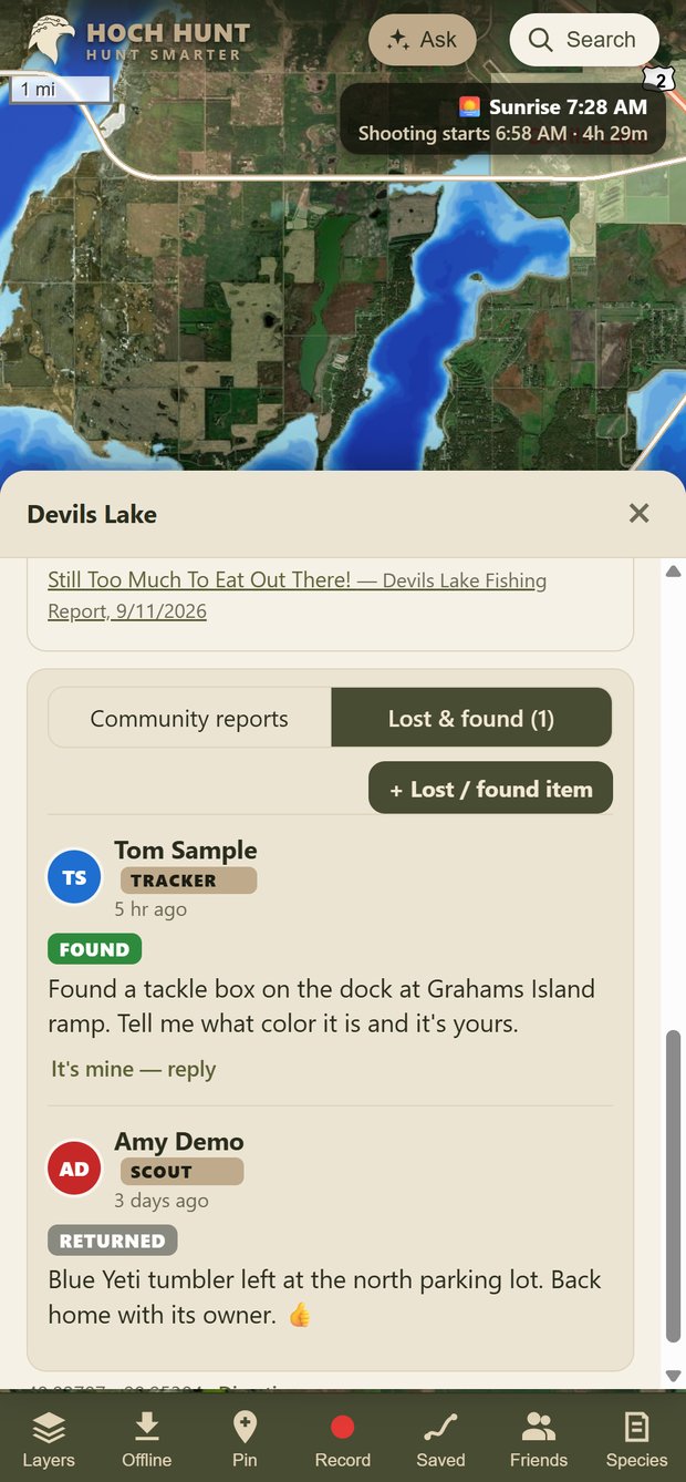
Screens show sample community posts from demo accounts.
Web version
Android, iPhone* & PC
Pricing announced at launch. *iPhone users get the full version in the browser first; the App Store version follows.
See your dogs on the same map as your land, units and pins. Live tracking, alerts when a dog locks up on point, and a trail of where they've been.
Fly your own ground and upload the imagery as a private, high-resolution layer. Fresh food plots and water, down to the inch, and it works offline.
Planned features. Timing and details may change.
Hoch Hunt is in private preview with North Dakota hunters and anglers now. Get launch news and early access.
Request early accessOr try the free web version right now.
Public sources: the North Dakota Game and Fish Department, the ND GIS Hub, USGS, USDA and the National Weather Service. Always confirm land status and regulations with Game and Fish before you hunt.
Yes. Download an area in the app before you go, and maps, land boundaries and your pins all work offline. Tracks record even with the screen off.
Yes, in Safari. Open the free version and choose Share → Add to Home Screen to use it like an app. The full iPhone app is on the way.
Yes, on purpose. Every layer, unit and report is North Dakota, so it's deeper and more local than the nationwide apps.
Ask in plain English. It looks up public land, lakes, reports, regulations and the forecast, then answers and drops pins on your map. It can be wrong, so double-check rules before you go.